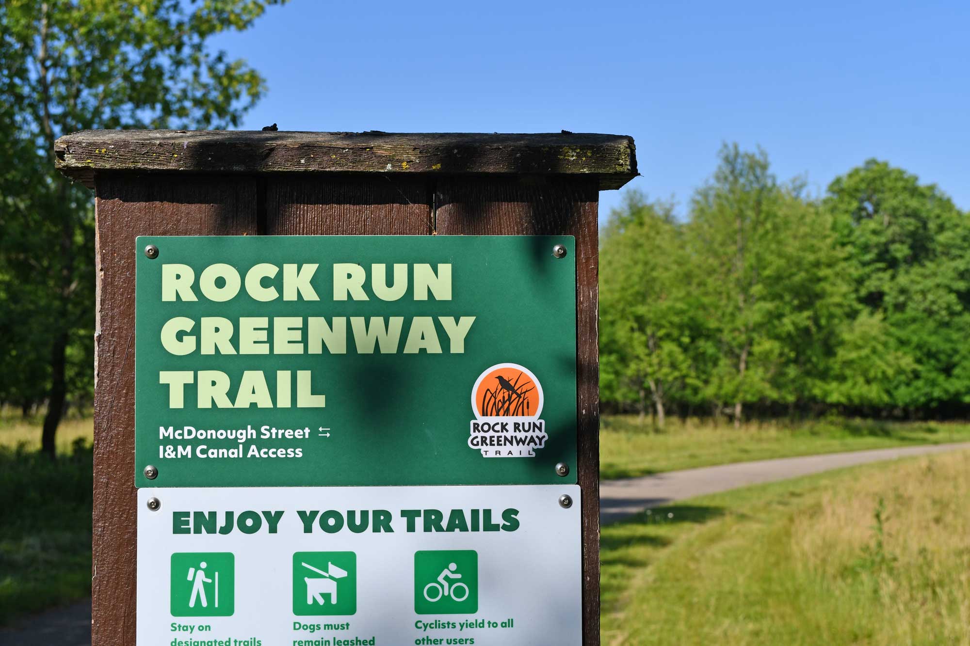
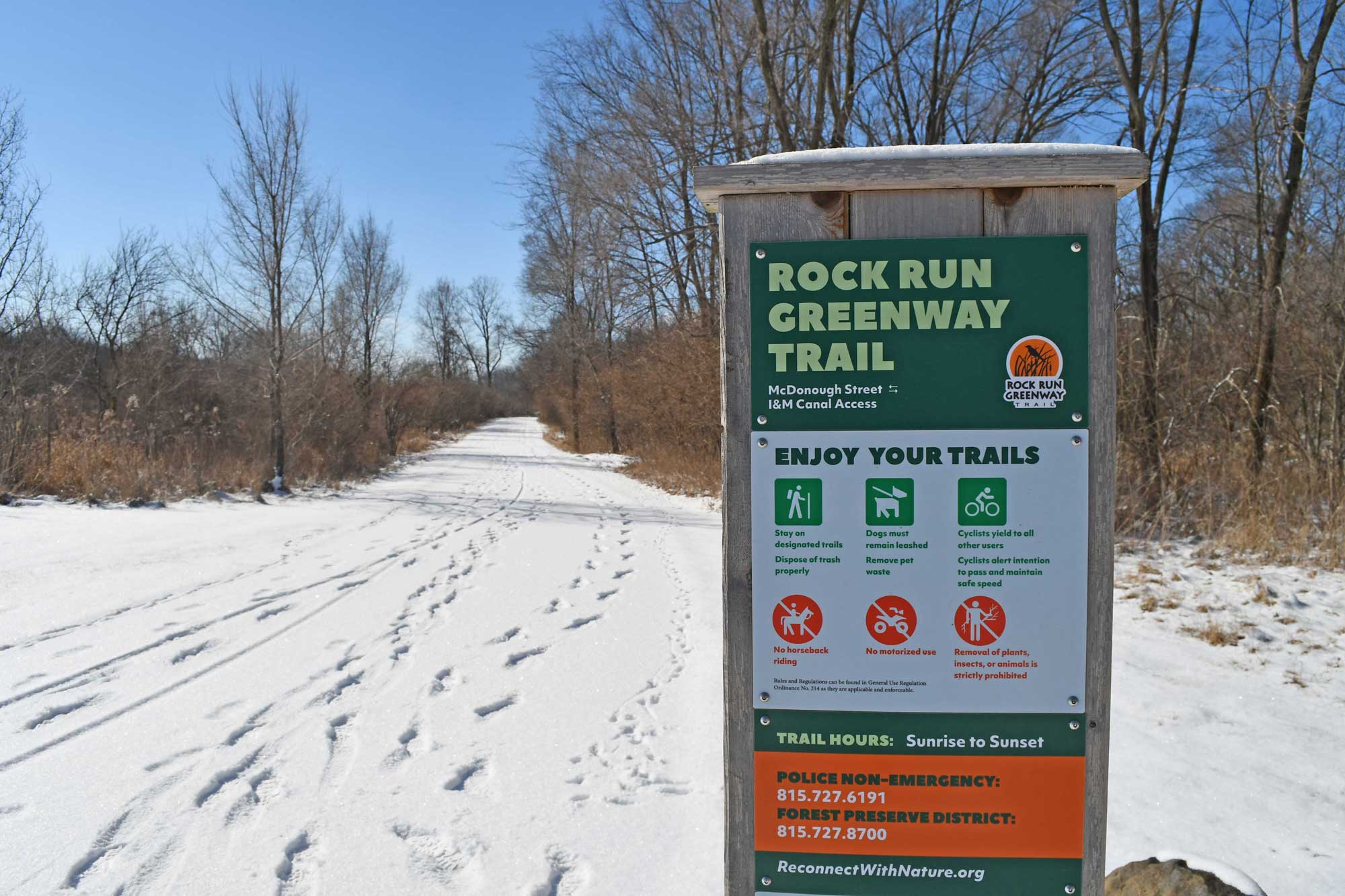
Rock Run Greenway Trail
Location
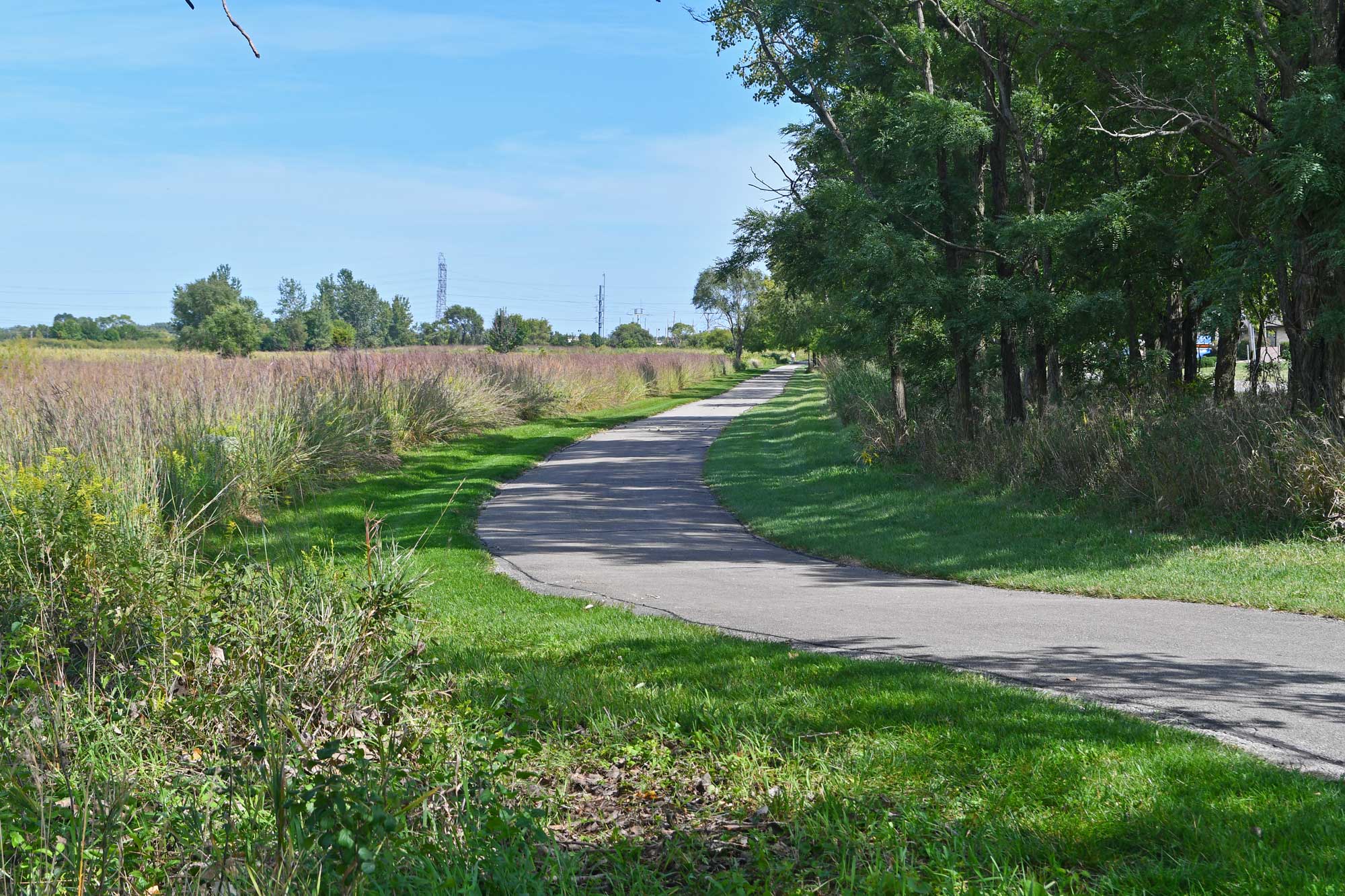
The Rock Run Greenway Trail extends 11.29 miles from Crest Hill south through Joliet.
Hours
Sunrise-sunset
Phone
815-727-8700
Rock Run Greenway Trail is a paved path that travels 11.61 miles from Crest Hill south through Joliet.
The trail may be accessed from the following locations:
- Theodore Marsh (Gaylord Road, Crest Hill)
- Rock Run Preserve – Paul V. Nichols Access (Essington Road, Joliet)
- Rock Run Preserve – Black Road Access (Black Road, Joliet)
- Colvin Grove Preserve/Joliet Junior College South Lot (Houbolt Road, Joliet)
- Lower Rock Run Preserve – I&M Canal Access (Hollywood Road, Joliet)
Trail experience and activities
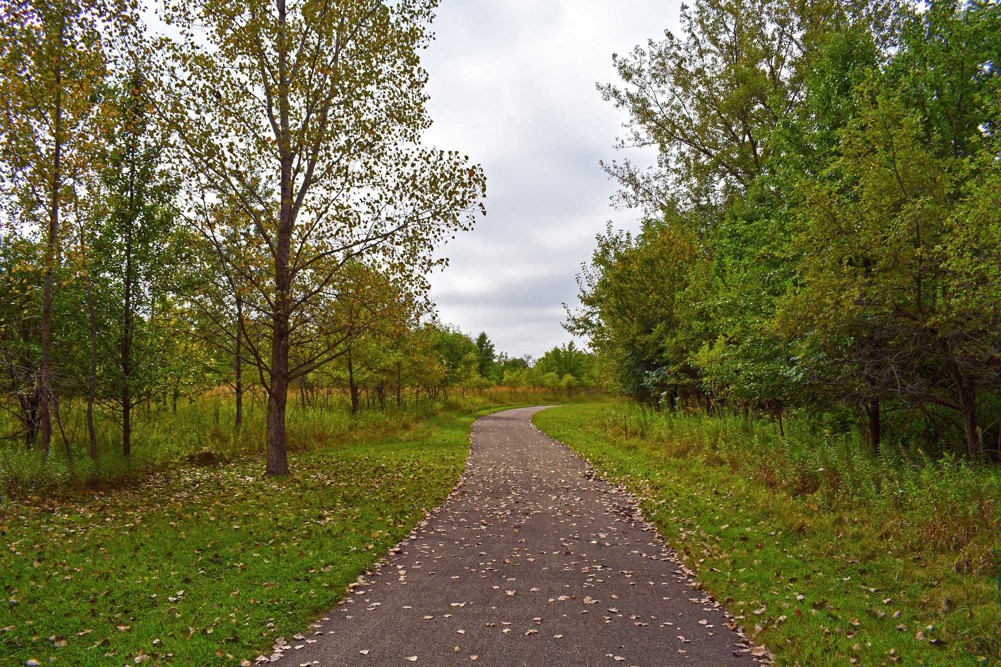
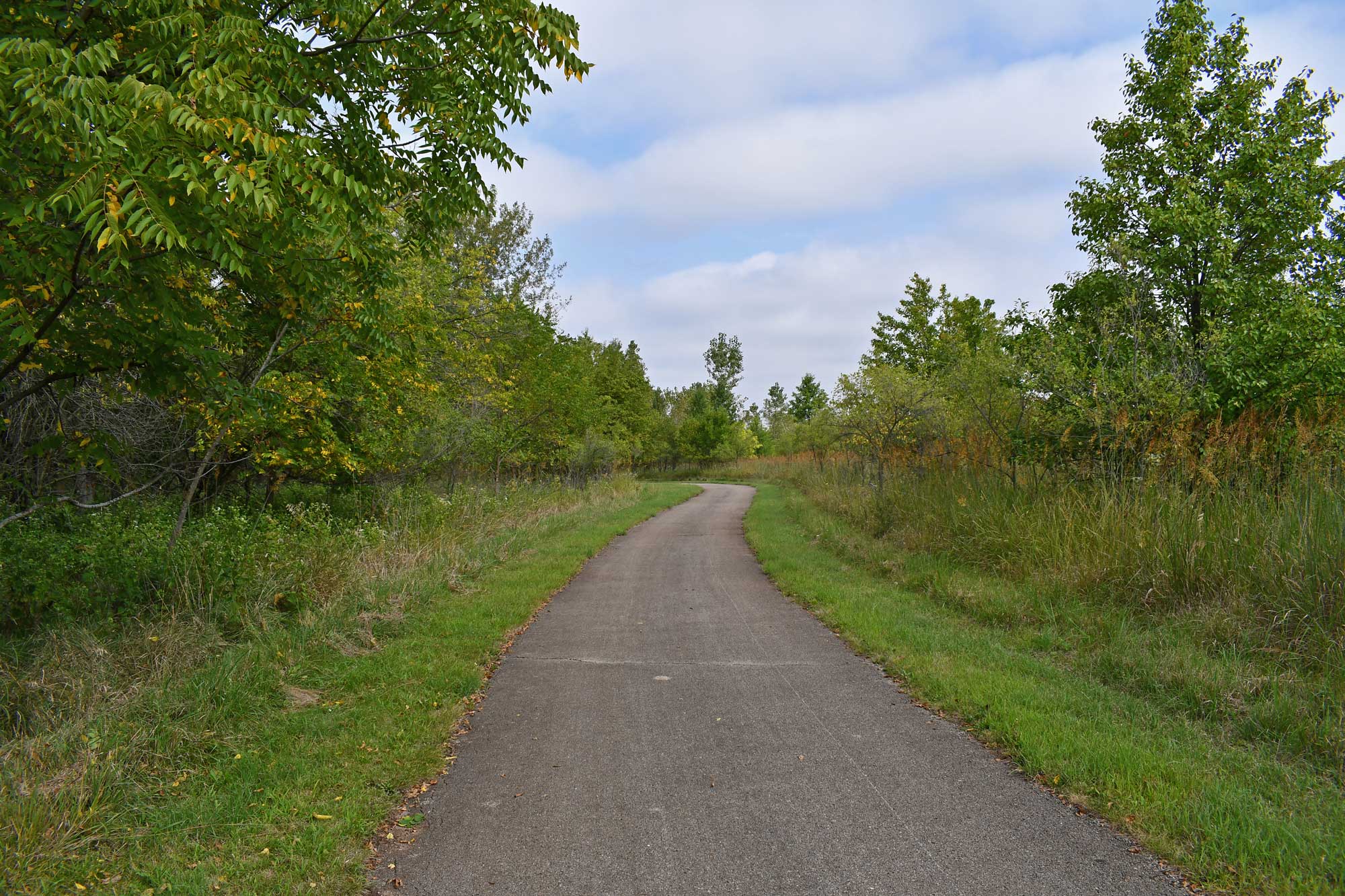
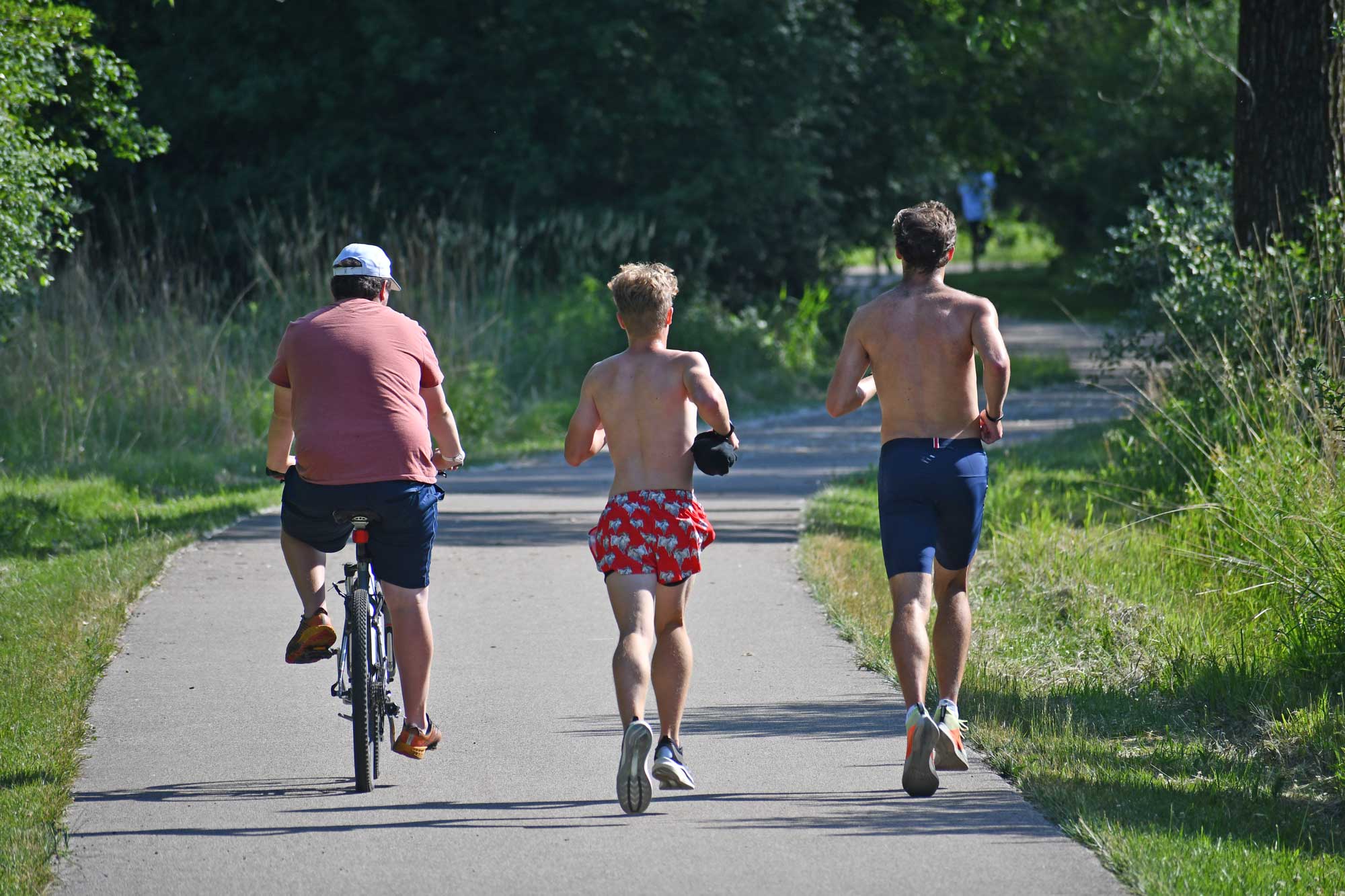
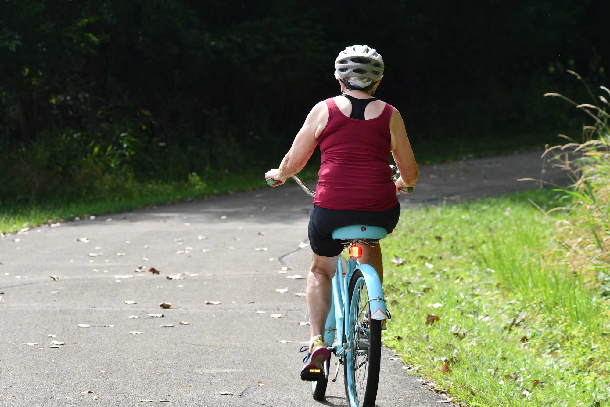
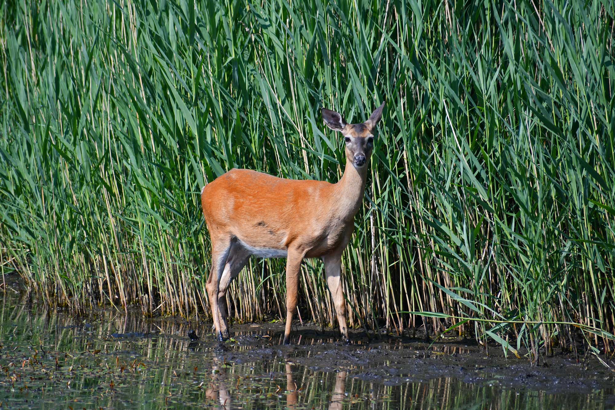
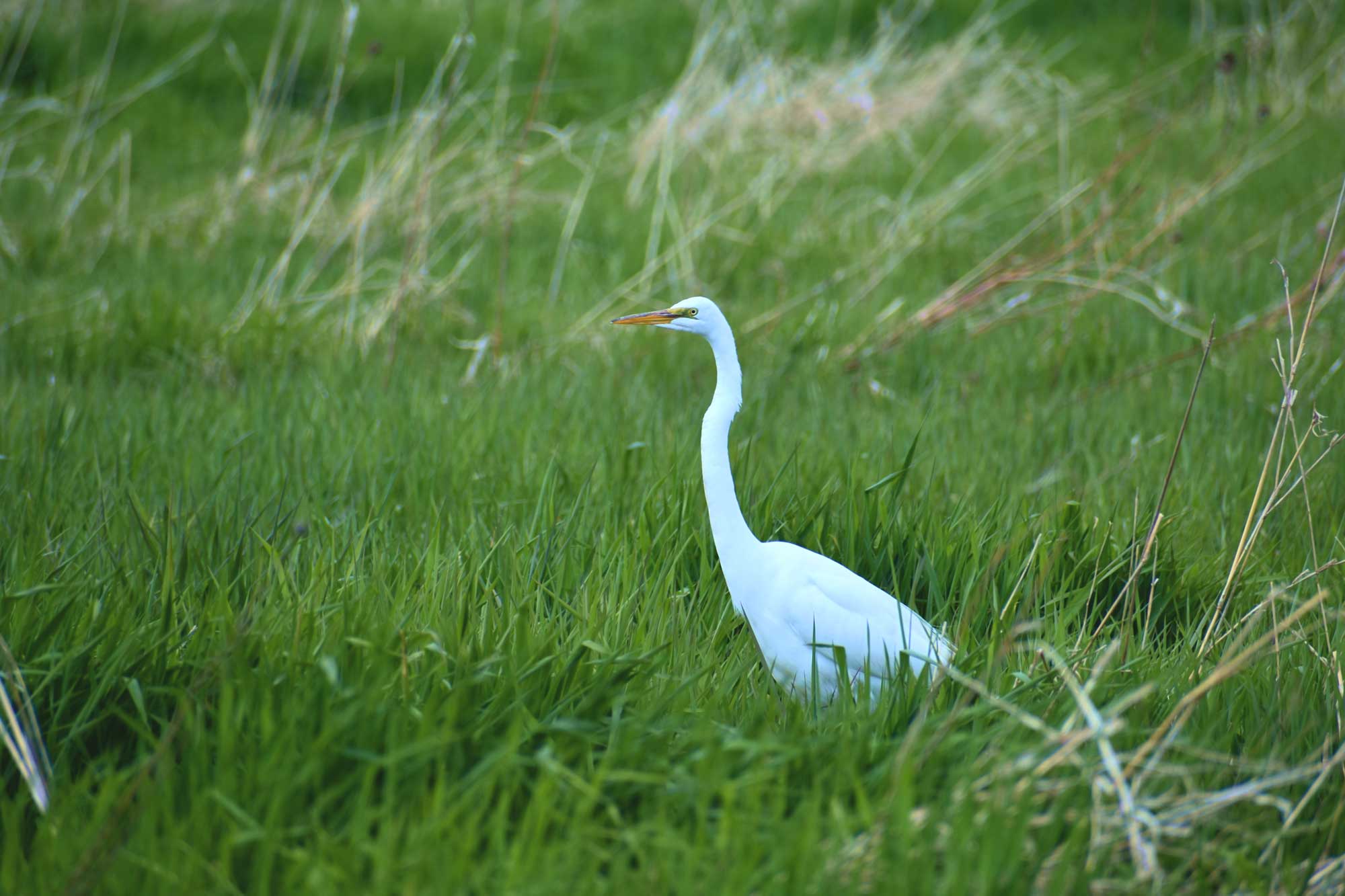
Rock Run Greenway Trail is a flat, linear trail and travels through woodland, prairie and wetland. It is ideal for the following activities:
- Biking
- Hiking/running
- In-line skating
- Cross-country skiing
- Snowshoeing
Trail connections
DuPage River Trail: A paved path along Black Road in Joliet and Shorewood connects Rock Run Greenway Trail to the 3.77-mile, linear paved DuPage River Trail at Hammel Woods.
Joliet Junction Trail: The north end of Rock Run Greenway Trail connects to the 4.36-mile, linear paved Joliet Junction Trail at Theodore Marsh.
I&M Canal State Trail: Street routes in Joliet connect the south end of Rock Run Greenway Trail to the Illinois Department of Natural Resources' crushed limestone I&M Canal State Trail.
Multi-trail loop: Together, Rock Run Greenway Trail, Joliet Junction Trail and I&M Canal State Trail provide a 16-mile loop trail.
Trail history
Rock Run Greenway Trail was acquired between 1990 and 2021.
Frequently asked questions
Electric-assist bicycles are allowed within the preserves as long as they meet certain requirements. The bikes must:
- Be low speed (an electric motor of less than 750 watts).
- Have a maximum speed of less than 20 miles per hour.
- Have functional pedals.
- Have a rider who is 16 years of age or older.
Per the District's General Use Ordinance, persons riding a bicycle must conform to federal and state bicycle laws.
Fishing is allowed in any forest preserve unless otherwise posted. Visit the fishing page for more information.
Call 911 in an emergency. Non-emergency safety concerns should be directed to the Laraway Communications Center dispatch at 815-727-6191 (option 9) to have a Forest Preserve District officer dispatched. Non-emergency and past concerns can also be reported to the District's police department by calling 815-727-8700 or through the online form.