The best places to bike in Will County
We’ve said it time and again: Spending time in nature is good for you. So why not take it one step further and add fitness to your outdoor routine?
The Forest Preserve District offers miles upon miles of trails perfect for year-round outdoor recreation. Besides heading out for a walk or a run, biking is one of the most popular activities on our multi-use trails. Biking, either for fitness or at a more leisurely pace, requires little in the way of equipment or skill. And even if it has been awhile since you’ve been out for a ride, getting started is easy. As the old saying goes, you never forget how to ride a bike.
Where to bike
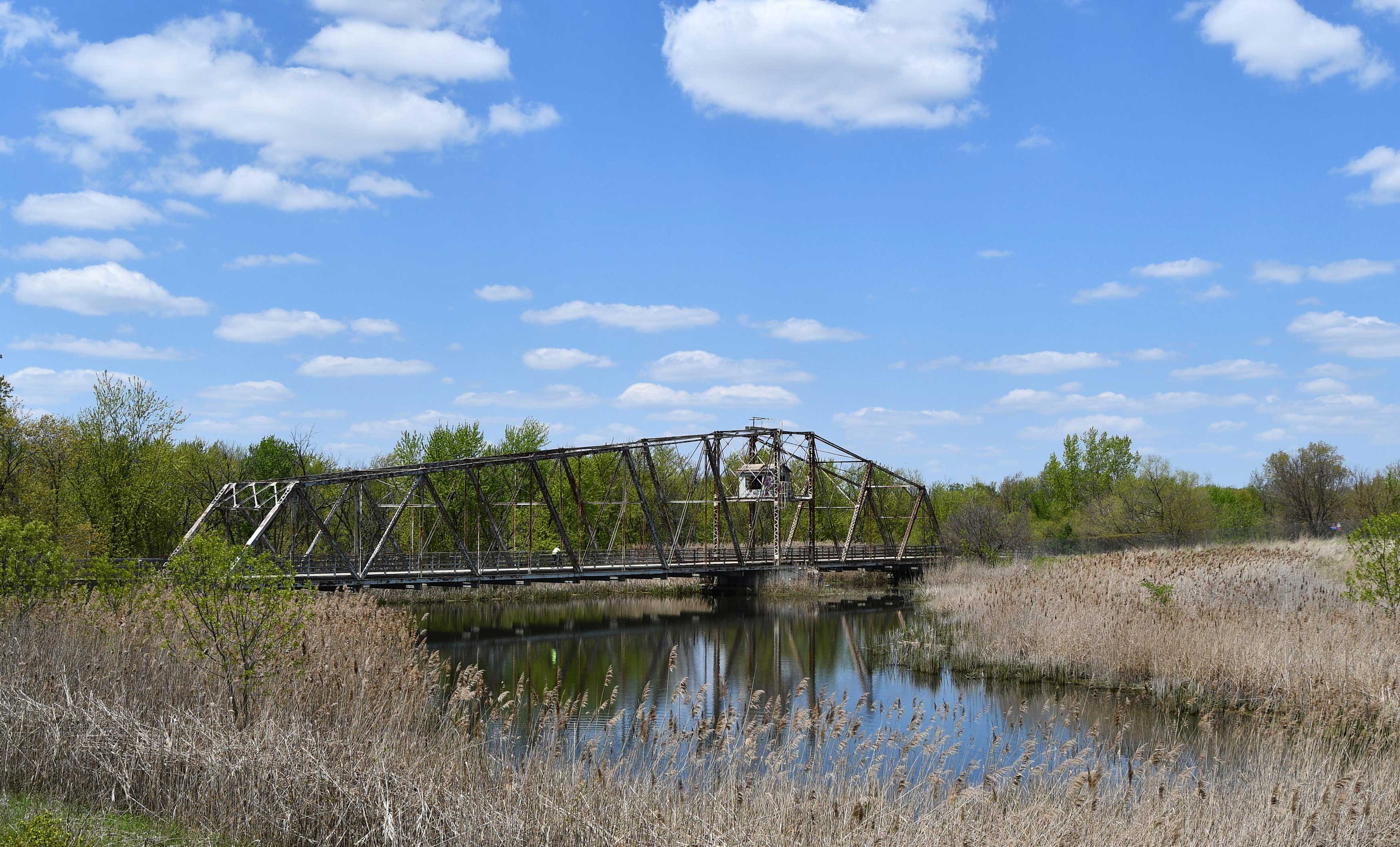
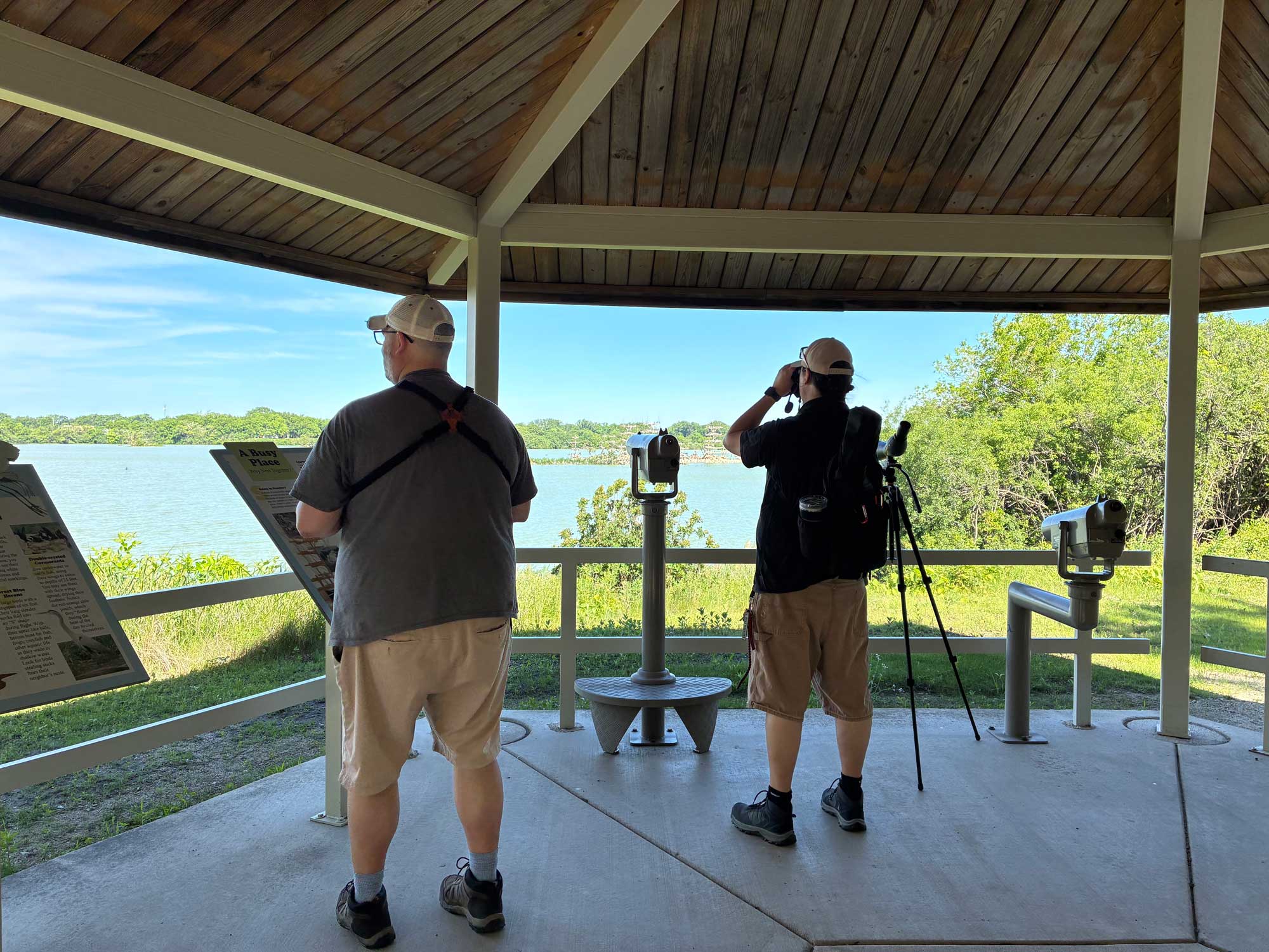
Centennial Trail. (Photo by Chad Merda)
The Forest Preserve District has more than 125 miles of trails, the majority of which are suitable for biking. Many of the bike trails in Will County forest preserves connect to other trails, allowing cyclists to take longer rides.
Keep in mind that bike trails in the preserves are multi-use trails, and cyclists will likely encounter other trails users. All trail users should be courteous and respectful and follow all safety rules and all posted signage.
Here’s a closer look at the bike trails traveling through the Will County preserves.
Centennial Trail: This linear trail travels 3.26 miles through eastern Will County, including traversing a historic swing bridge, and then connects to the Cook County Forest Preserve District’s Centennial Trail, which travels an additional 9.3 miles from Lemont to Willow Springs. The Will County portion of the trail is paved and can be accessed from Schneider’s Passage/Isle a la Cache preserve. Centennial Trail connects to the I&M Canal Trail and Veterans Memorial Trail.
DuPage River Trail: This trail continues to be developed through a partnership between the Forest Preserve District of Will County and 12 other agencies. When complete, it will travel 40 miles from Channahon north into DuPage County. The Forest Preserve District has developed three trail segments totaling 8.56 miles.
Three segments of the DuPage River Trail travel through Will County preserves:
- Hammel Woods: This portion of the DuPage River Trail is a hilly, paved linear trail traversing 4.1 miles through the preserve’s woodland. It can be accessed from Hammel Woods’ Crumby Recreation Area and the DuPage River and Route 59 accesses.
- Whalon Lake: This segment of the trail travels 3.71 miles on a flat, paved loop through wetlands and around Whalon Lake.
- Riverview Farmstead Preserve: This trail segment traverses 0.75 miles on a flat, paved surface through open areas and around the farmstead.
At Whalon Lake, the DuPage River Trail connects to additional trail segments owned by the city of Naperville and the Naperville Park District, from Knoch Knolls Park then north along 95th Street. From there, the trails continues south along Naperville-Plainfield Road to the Tall Grass Greenway Trail, which travels 4.04 miles west to Vermont Cemetery Preserve.
The DuPage River Trail also connects to the 11.24-mile paved Rock Run Greenway Trail via street routes in Joliet and Shorewood.
Hickory Creek Bikeway: This paved trail is a hilly, linear path that travels 6.65 miles through the woodlands of Hickory Creek Preserve. It is divided into two segments. The western segment, which is 3.75 miles, can be accessed at either Hickory Creek Barrens or Hickory Creek Junction. The eastern segment is 2.9 miles and can be accessed at Hickory Creek Preserve’s LaPorte Road Access. The Hickory Creek Bikeway also connects to the Route 30 Bikeway and the Old Plank Road Trail.
Joliet Junction Trail: This bike path is a flat, paved linear trail that travels 4.36 miles between Crest Hill and Joliet. It can be accessed from Theodore Marsh and also at Joyce Road in Joliet, near the Walmart parking lot. At its north end, the Joliet Junction Trail connects to the Rock Run Greenway Trail. In Joliet, street routes can be used to connect from the Joliet Junction Trail to the I&M Canal State Trail. Together, the Joliet Junction Trail, Rock Run Greenway Trail and I&M Canal State Trail provide a 16-mile, mostly paved loop trail.
Lake Renwick Bikeway: This bike path is a flat, paved loop that travels 3.35 miles through a wetland and around Budde Lake. It can be accessed from Lake Renwick Preserve’s Turtle Lake Access and Plainfield Township Access.
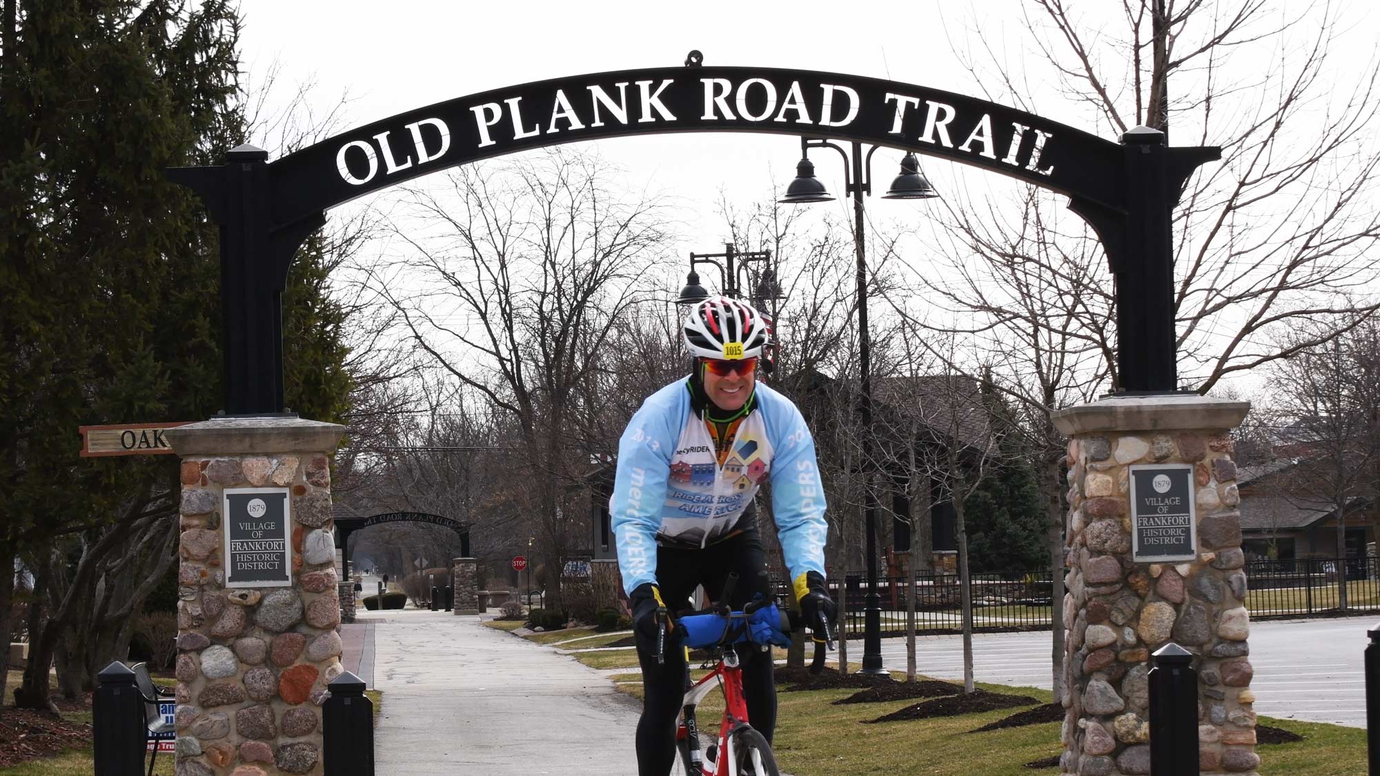
Old Plank Road Trail: The Old Plank Road Trail is a 22-mile trail traveling through Will and Cook counties. It is jointly owned and managed by the Old Plank Road Trail Management Commission, which includes the Forest Preserve District, Rich Township and the villages of Frankfort, Park Forest and Matteson. The Forest Preserve District owns and manages 11.5 miles of the 14.1 miles of the trail that travel through Will County. The Old Plank Road Trail has many access points, including the following that are managed by the Forest Preserve District:
- Washington Street Access in Joliet
- Park Road Access in Joliet
- Hickory Creek Preserve — Hickory Creek Barrens in New Lenox
- Hickory Creek Preserve — Hickory Creek Junction in Mokena (via a 0.65-mile trail connection)
The Old Plank Road Trail is part of the Grand Illinois Trail, which travels across the northern quarter of the state, and the American Discovery Trail, which travels the United States from coast to coast. It also links up to the Wauponsee Glacial Trail, Hickory Creek Bikeway, Route 30 Bikeway, Thorn Creek Trail and I&M Canal State Trail via street routes and trail connections.
Plum Creek Greenway Trail: This is a hilly, crushed limestone trail that has both linear and loop portions. It travels 3.15 miles through Goodenow Grove Nature Preserve, and there is another 1-mile trail segment at Plum Valley Preserve. It can be accessed from Goodenow Grove and Plum Valley or from the horse trailer parking area on Goodenow Road.
Rock Run Greenway Trail: This flat, linear trail travels 11.24 miles through Crest Hill and Joliet. It can be accessed at several preserves: Theodore Marsh, Colvin Grove Preserve/Joliet Junior College South Lot, Lower Rock Run Preserve’s I&M Canal Access and Rock Run Preserve’s Paul V. Nichols and Black Road accesses. The Rock Run Greenway Trail connects to the I&M Canal State Trail, and to the DuPage River Trail and Joliet Junction Trail via street routes. Together, the Joliet Junction Trail, Rock Run Greenway Trail and I&M Canal State Trail provide a 16-mile, mostly paved loop trail.
Route 30 Bikeway: This trail is a flat, paved path that travels along Route 30. It travels 7.56 miles from Walona Avenue in New Lenox through Mokena to 78th Avenue in Frankfort. The bikeway is owned and managed by the Forest Preserve District and the villages of New Lenox, Mokena and Frankfort. It can be accessed from Hickory Creek Preserve’s Hickory Creek Barrens and Hickory Creek Junction. From the Route 30 Bikeway, riders can connect to the Hickory Creek Bikeway and Old Plank Road Trail.
Spring Creek Greenway Trail: This trail totals 8.45 miles and has two segments, both of which are crushed limestone over hilly terrain. The western trail segment travels 5.01 miles through woodland, savanna and wetland at Hadley Valley, and can be accessed at this preserve’s Gougar Road, Route 6 and Bruce Road accesses. The eastern segment travels 3.44 miles through woodland and savanna at Messenger Marsh. At Hadley Valley, the Spring Creek Greenway Trail also connects to the trails at Pilcher Park, which is owned by the Joliet Park District.
Tall Grass Greenway Trail: This paved linear trail travels 4.04 miles between Vermont Cemetery Preserve to the west and Naperville-Plainfield Road to the east. It is jointly owned and managed by the Forest Preserve District and the Naperville Park District. On the eastern end of the trail, it connects to the DuPage River Trail. At its west end, it connects to the Normantown Trail. It can be accessed from Vermont Cemetery.
Wauponsee Glacial Trail: This trail is divided into two segments, north and south, that travel a total of 22.42 miles between Joliet to the north and Custer Park to the south. The north segment is a flat, paved trail that traverses 2.8 miles of woodland, prairie and wetland between Rowell Avenue and Sugar Creek Preserve. The south segment is a flat, crushed limestone trail traveling 19.62 miles through prairie between Sugar Creek Preserve and the Kankakee River. Using street routes, the trail connects to the I&M Canal Trail, the I&M Canal State Trail and the Old Plank Road Trail. The trail also links to the paths at Midewin National Tallgrass Prairie. It can be accessed from Sugar Creek Preserve, Forked Creek Preserve’s Ballou Road Access, Manhattan Road Access, Symerton Access or the Midewin-Wauponsee Trailhead.
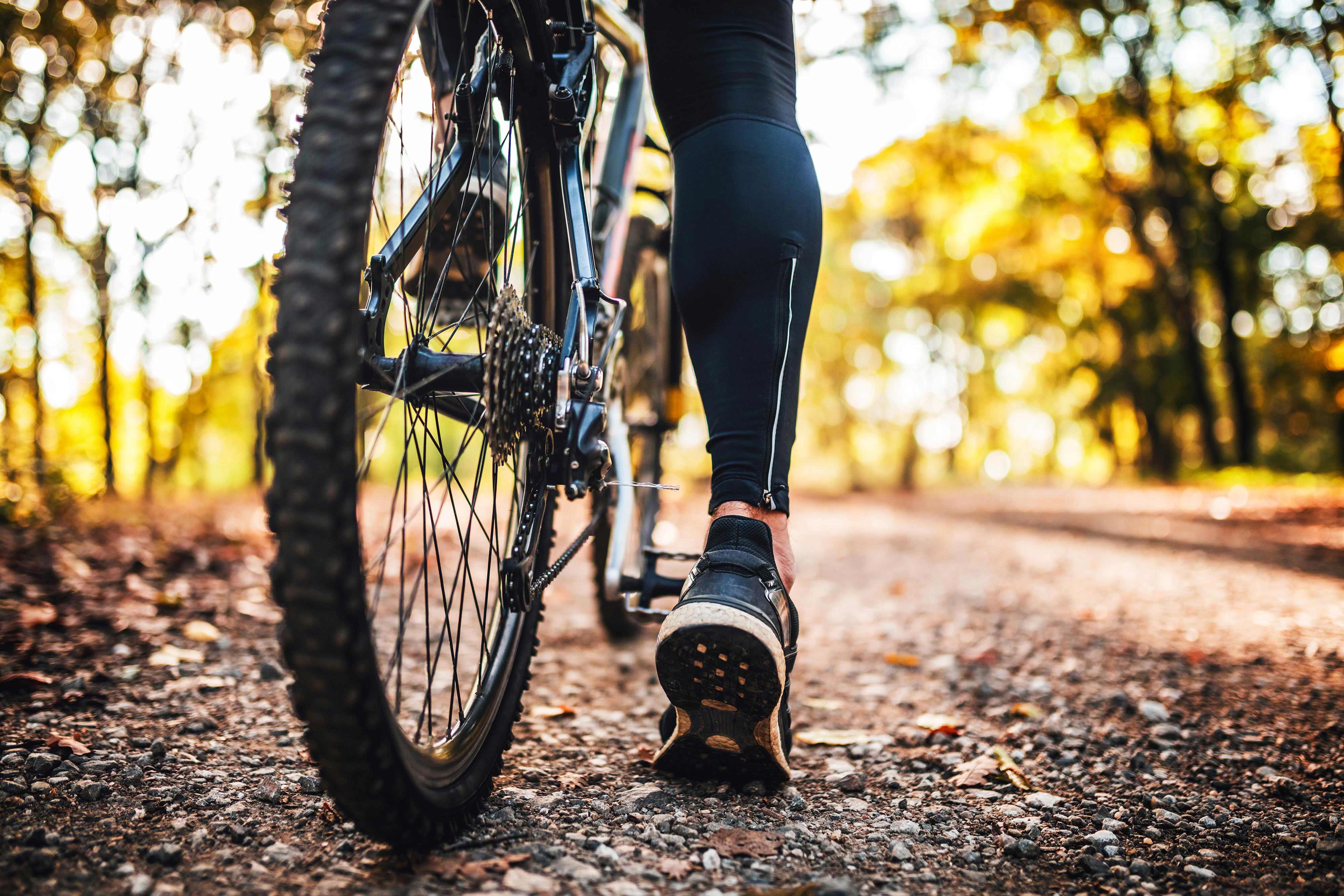
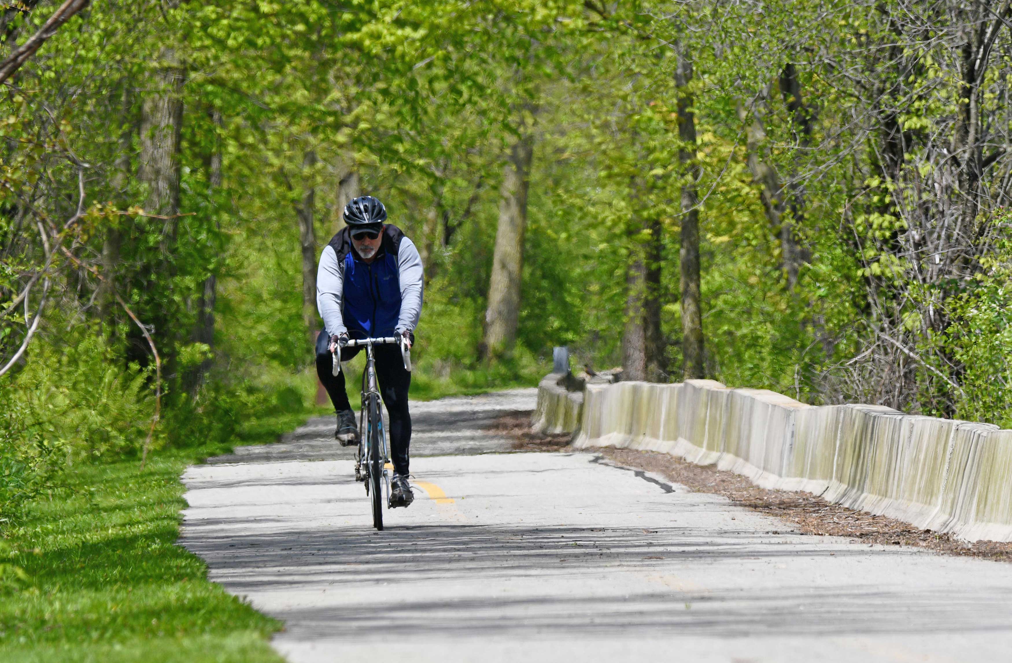
Biking for exercise
(Photo by Chris Cheng)
Cycling is good cardiovascular exercise, meaning it increases your heart rate and makes your heart stronger, according to WebMD. It’s a low-impact exercise too, making it a good choice for people who have arthritis or joint pain or are recovering from a joint injury. Besides offering a good cardiovascular workout, biking helps build lower body strength while being gentle on your back, hips, knees and ankles.
Cardiovascular workouts are good for burning calories, and biking is no exception. How many calories you burn while exercising depends on your height and weight. For example, vigorous cycling of more than 10 mph burns 590 calories per hour for a 154-pound man who stands 5 feet, 10 inches tall, according to the U.S. Department of Agriculture. People who weigh more will burn more calories, and those who weigh less will burn fewer calories.
If you’re just getting started biking for exercise, choose flat paths and trails, WebMD advises. As your fitness increases, add distance and/or time to your workout and consider more rugged terrain. Many of the bike trails throughout Will County preserves are flat, but a few offer hilly terrain for a more vigorous workout.
Biking safety
(Photo by Chad Merda)
A bike and a helmet are all you need to bike for exercise or just for your own enjoyment, and the helmet is key. The Illinois State Police recommend cyclists wear helmets at all times while riding, and that riders ensure their helmets fit properly. A properly fitting helmet should be level and snug on your head. You should be able to see the helmet edge when looking up, and the straps should form a Y shape around your ears. The straps should fit loosely enough under your chin that you can fit a finger between the buckle and your jaw, but tight enough that the helmet pulls down your forehead when you open your mouth widely.
It’s important to avoid riding after dark unless you have additional safety equipment. If riding after dark, your bike must have a headlight and taillight or reflector. You should also consider wearing reflective clothing.
Here are more bike safety tips from the Illinois State Police:
- Obey all traffic laws, signs and signals.
- Keep to the right.
- Keep brakes, lights, reflectors, horns/bells and all safety devices in good working condition.
- Learn and use hand signals for turns and stops when riding on roadways.
- Follow the rules of the road, and ride defensively.
- Do not speed, race or weave in and out of traffic.
- Do not carry passengers or large packages.
- Never hitch onto a moving vehicle.
- Keep both hands on your handlebars except when signaling a turn or stop.
- Dismount and walk your bike across dangerous streets or intersections.
- Never squeeze into a narrow spot or between two vehicles.
Biking regulations and trail safety
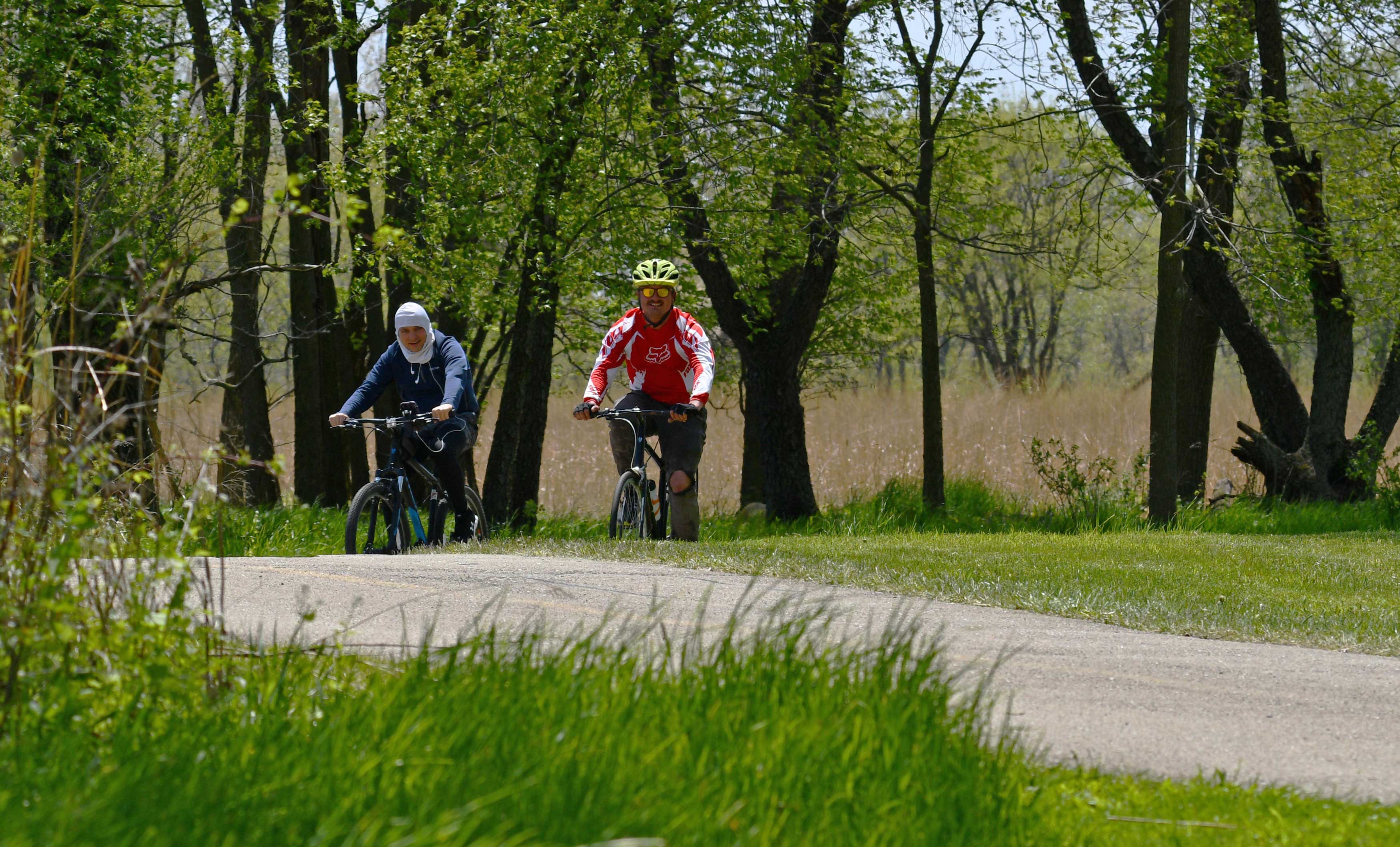
(Photo by Chad Merda)
Within Will County’s preserves, biking is permitted only on designated paths, trails and roadways. No bikes are allowed on natural surface trails within the preserves. Biking trails and paths in Will County preserves are multi-use trails, so cyclists must always be aware of other trail users and use proper judgment to maintain a safe environment. Cyclists must follow all state and federal bicycle laws when riding in the preserves.
Cyclists should stay to the right except when passing. Pass on the left and always warn other trail users from behind as you approach to pass. When riding with others, do not block the trail and use only one half the width of the trail.
Electric-assist bicycles are allowed in the preserves, provided they meet certain requirements:
- They must be low speed, with electric motors of less than 750 watts.
- They must have maximum speeds of less than 20 mph.
- They must have functional pedals.
- Riders must be at least 16 years old.
The Forest Preserve District encourages safe and responsible use of its trails. Travel with another person when possible, and if you are biking alone make sure to tell someone where you are and when you expect to return. Also keep in mind that preserves close at sunset. Make sure you know when sunset is and that you are out of the preserves before dark. Here are some additional trail safety tips:
- Always carry your cell phone with you, and consider adding our police dispatch number to your contacts: 815.727.6191. In the event of an emergency, call 911.
- Know your location and be aware of your surroundings. If wearing earbuds, wear only one so you can hear traffic and other trail users.
- Know the trail conditions and travel at safe speeds.
- Report suspicious activity as soon as you see it.
(Lead image via Shutterstock)