Slowing water's roll
As raindrops plummet to the ground in Will County, where they land determines how quickly the water will be absorbed into the ground.
If droplets fall onto asphalt, a roof or a road, they will form a puddle or a stream of runoff water. If rain lands on grass, it will moisten the ground, but the short roots of common turf grass won’t hold much liquid back.
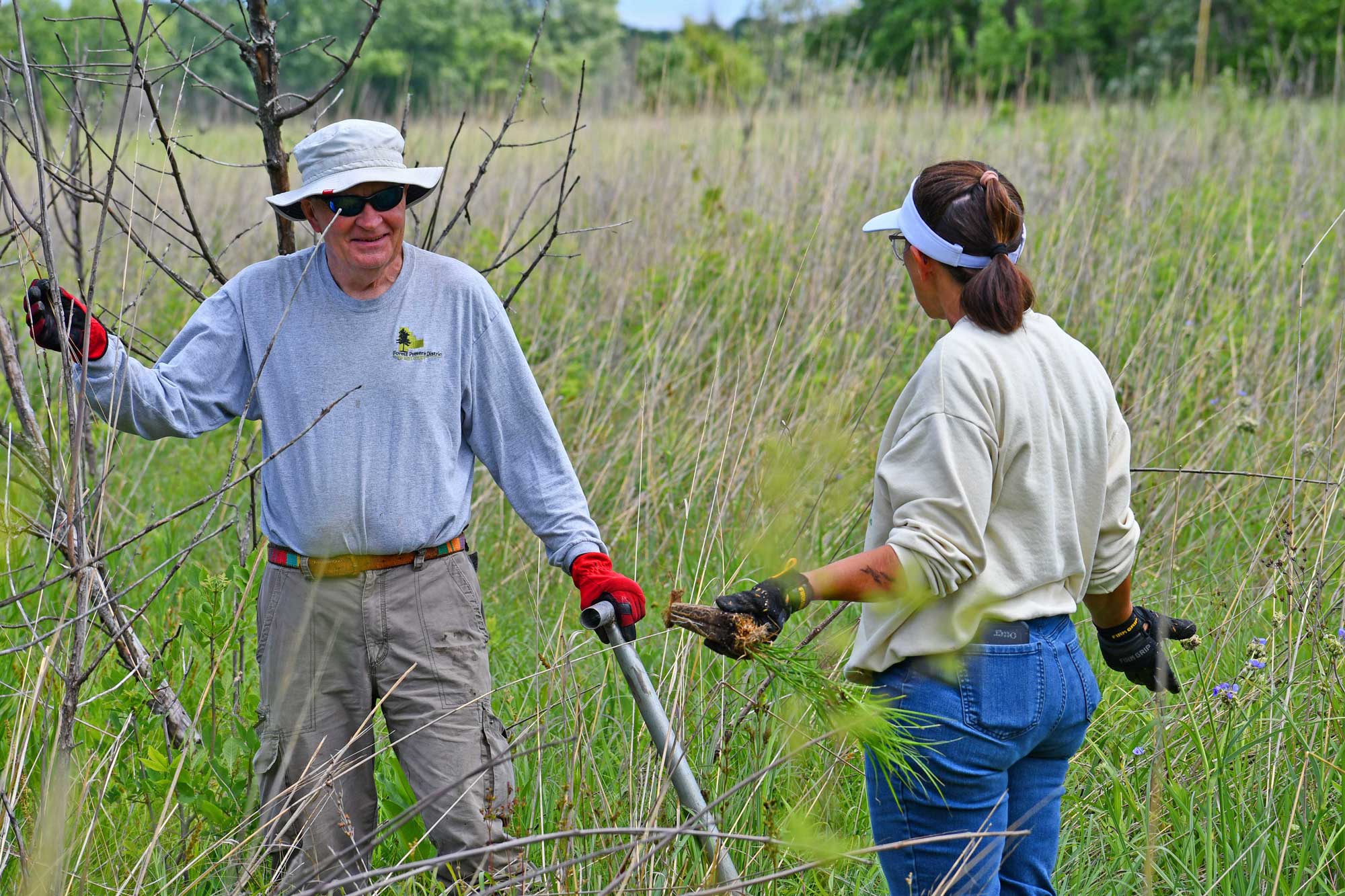
But if the precipitation finds its way into a forest preserve or other natural area, the ground will welcome each droplet with open roots that go deep into the ground. The roots of native plants had to evolve to survive droughts, so they go deeper into the earth and hold more water when it does arrive. Turf grass has short roots, but a plant such as big blue stem sinks its roots as much as 8 feet underground.
“If water hits bare ground, it’s going to move fast,” said Ralph Schultz, the Forest Preserve’s chief operating officer. “If you have plants on the ground, it slows the water. And every time you can slow the water, you give it a greater chance of going into the ground.”
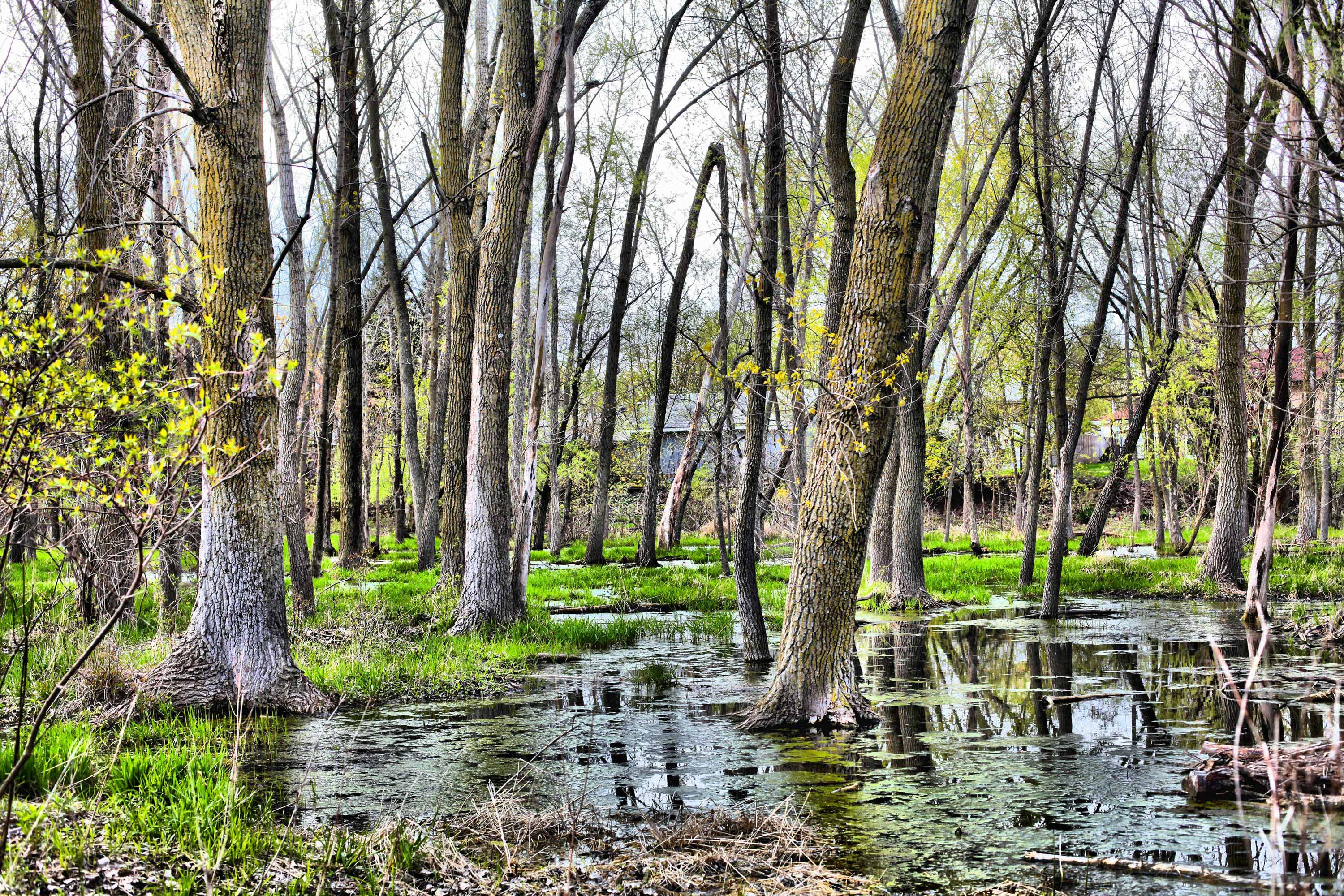
Preserves hold and store water
Keepataw Preserve in Lemont. (Photo by Chad Merda)
The Forest Preserve District often buys and restores wetlands and floodplain to provide biodiversity and recreational opportunities, but there are ancillary benefits related to stormwater, Schultz explained.
“In addition to providing all of the benefits that go along with open space, the forest preserves are doing exactly what they are intended to do, and that is to hold and store flood waters,” Schultz said.
Water that infiltrates the ground replenishes the underground aquifer, and feeds wetlands and the species that live there.
“We’re allowing the earth to be the sponge that it wants to be,” he said. “The flood waters come up and they have a place to spread out and to then infiltrate and reduce to some extent the flooding downstream by allowing the water to slow down.”
And while some people believe floodplains are worthless land, that is not the case, Schultz said.
“Floodplains provides floodwater storage, biodiversity and space for a natural community,” he explained. “They also can be used for a variety of outdoor recreation activities.”
Not all floodplains are filled with quality plants, but they can be restored to become high-level nature areas.
“A good example of a restored and higher quality floodplain is the land in Hadley Valley Preserve along Spring Creek,” Schultz said. “We re-meandered that creek, removed the agricultural drain tiles and slowed the flow of water so that it has less velocity and less erosion potential. And the water can spread out downstream, so instead of having a narrow chute that cuts through the earth, the water spreads and creates wetland communities along its banks.”
In past land acquisition campaigns, the Forest Preserve purchased many parcels that were located along waterways and headwaters because creeks and the associated wetlands provide the greatest amount of diversity and the greatest amount of restoration potential.
“The more diversity and habitats you have, the more species that you will affect and attract,” Schultz said. “The majority of Forest Preserves lie alongside creeks and rivers.”
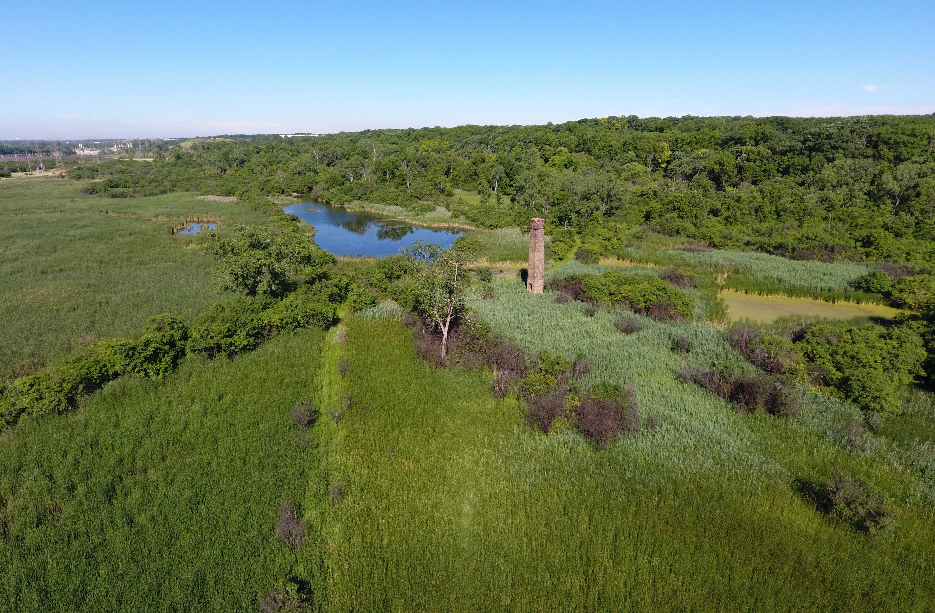
Valuable ecosystems

Double-crested cormorants are just one of the many bird species that can be seen at Whalon Lake. (Photo by Chris Cheng)
The Forest Preserve District has been buying land that helps absorb rainwater for decades. The District includes more than 22,500 acres, and more than half of that land has been acquired in the past 20 years.
“If the forest preserves and other natural areas weren’t out there, it definitely could be worse,” Schultz said. “The Forest Preserves provide valuable ecosystem services to our residents that are sometimes unrecognized.”
Here are some examples of preserves that either hold back water now, or will so in the future:
- Sauk Trail Reservoir: This project dates back to the 1970s when the Illinois Department of Natural Resources initiated flood control projects in the Hickory Creek watershed. The Sauk Trail Dam was created on a tributary of Hickory Creek. It was designed to hold back floodwaters and slow the release of water into the watershed system. The preserve includes a dry reservoir and a dam. During flood events, the reservoir fills with water.
- Hickory Creek Preserve east of Wolf Road: The state and the District both purchased property to create another earthen dam across the floodway. But the soil was too porous for this project and all of the land became part of the District’s Hickory Creek Preserve. A third site purchased by the state was turned into the District’s Walnut Hollow Preserve. While neither preserve has a dam, they both help slow the flow of water within the Hickory Creek watershed.
- Whalon Lake: This former quarry has been transformed into a recreational lake and a flood control system. It was designed to flood 10 feet high over its 80 acres when water is diverted from the adjacent DuPage River. One acre flooded to a height of one foot holds 33,000 gallons of water. So if all 80 acres were flooded at the full 10-foot capacity, the lake would be holding back 26,400,000 gallons of water. Whalon Lake holds back the water releasing it slowly back into the river through two discharge pipes.
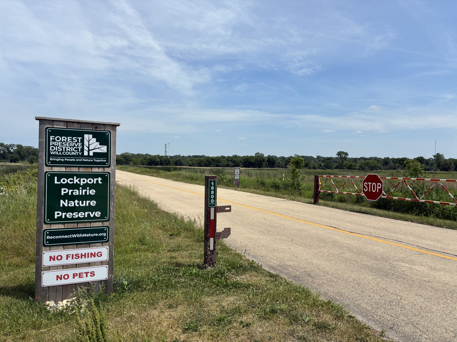
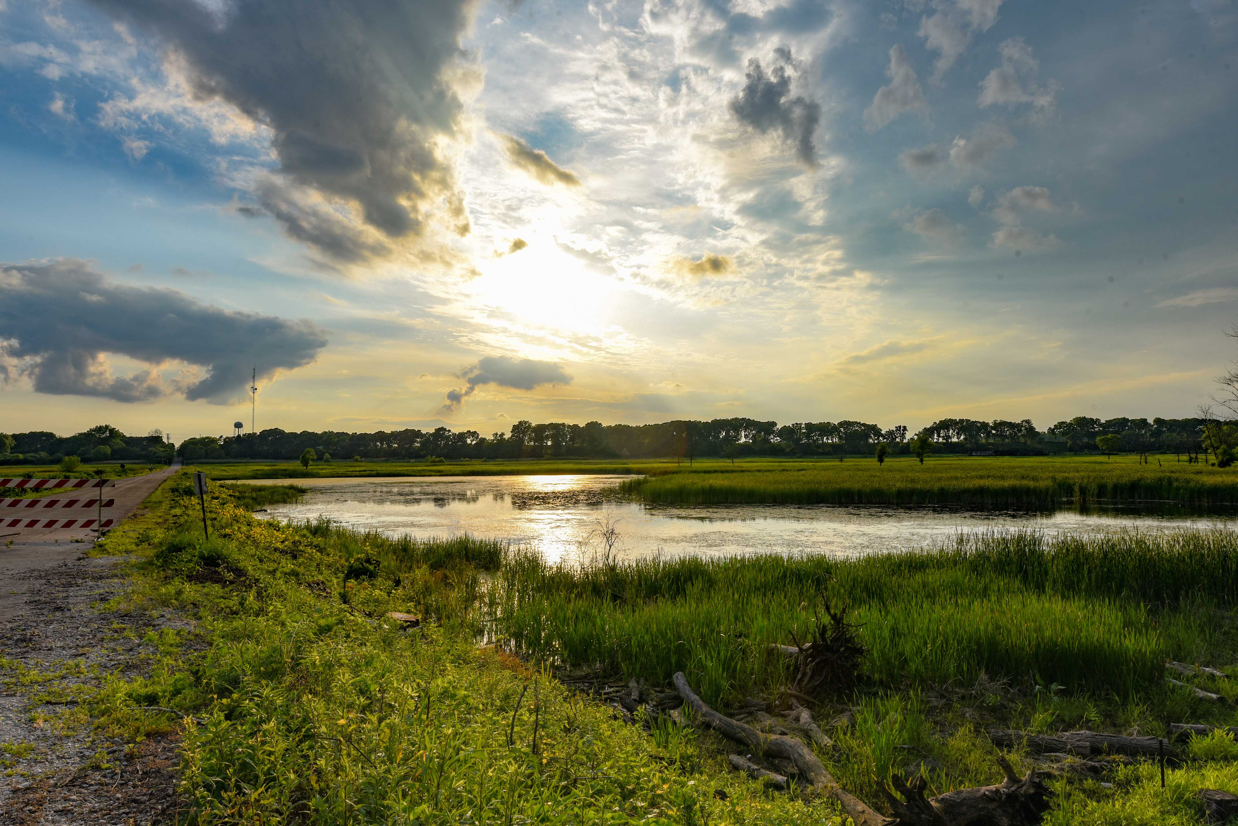
- Lockport Prairie Nature Preserve: Flooding occurs at the preserve when the Metropolitan Water Reclamation District of Greater Chicago opens upstream flood gates to relieve pressure on the Lockport Powerhouse dam located in the Chicago Sanitary and Ship Canal. The site originally belonged to the reclamation district and when the land was transferred to the Forest Preserve, the reclamation district retained the right to flood the parcel to prevent flooding upstream.
- Riverview Farmstead Preserve: This project will be undertaken at a future date. Wolf Creek will be re-meandered, and wetlands and grasslands will be restored. This work will have a positive effect on residents downstream because it will divert and slow the stormwater moving from the areas west of the preserve toward the DuPage River.
Slowing the water
Rock Run Preserve in Joliet. (Photo courtesy of Kevin Kuchler)
Schultz said most people probably don’t realize how much water forest preserves hold back during rainstorms.
“I think sometimes it’s hard to appreciate that the Forest Preserve has a role in that. Preserving open land to allow flood waters to infiltrate the ground is a good thing and a valuable thing, and it’s valuable to everyone downstream of the preserves.”
And the preserves are an attractive alternative to a detention pond, which is a “bowl with a clay liner that is cut out of the earth,” Schultz said. “The land around a preserve is naturalized and it’s holding the water and pulling it into the underground aquifer.”
Prairie plants also create fissures in the soil, and those cracks are what the water runs down, so you have more and deeper pathways for the water to enter the ground, he explained.
And while providing flood control isn’t directly part of the Forest Preserve District’s mission, it’s a wonderful benefit that comes along with preserving open space and restoring the land.
“It’s helpful to acquire open space for flood control, but it’s not the only solution,” Schultz said. “There is still a lot that can be done. There is more land that can be preserved and restored. Every time you can slow the water you give it a greater chance of going into the ground, feeding our habitats and aquifers.”
(Lead image of Lockport Prairie Nature Preserve by Chris Cheng)